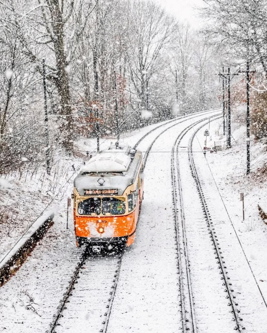
Boston experienced its heaviest snowfall in nearly three years as a winter storm swept across the northeastern U.S., causing significant travel disruptions during the busy holiday season.
On Saturday morning, parts of eastern Massachusetts, Rhode Island, and eastern Connecticut recorded snowfalls ranging from 3 to 6 inches.
Fenway Park in Boston measured 6 inches of snow, while Logan Airport recorded 5.2 inches — the highest accumulation in the city since January 2022, according to Boston.com.
The storm wreaked havoc on transportation systems, with more than 13,000 flights delayed and hundreds canceled nationwide.
Logan Airport in Boston and airports in New York were among the hardest hit, as visibility issues and de-icing operations led to considerable delays.
Road conditions were equally challenging.
Boston’s municipal services deployed 400 vehicles to treat and clear streets, but icy conditions still caused several accidents.
On Interstate 90, multiple semi-trailers collided in Auburn, Massachusetts, temporarily closing the eastbound lanes. Auburn firefighters confirmed that no injuries occurred in this incident, although injuries were reported in a separate accident on the westbound lanes later in the day, according to Boston.com.
While Boston received the heaviest snowfall, accumulations varied across the region.
Providence, Rhode Island, and parts of eastern Connecticut recorded 2 to 3 inches of snow, while a light dusting covered the Interstate 95 corridor, according to boston.com
New York City also experienced snowfall, but it was not measurable at ground level.
Northern New Jersey recorded accumulations ranging from 1 to 3 inches.
An Alberta Clipper-type storm, moving rapidly from Canada, merged with a coastal low-pressure system off the Carolinas and intensified as it moved up the East Coast, according to Boston.com.
“We sometimes see what’s called an energy transfer to the East Coast,” explained FOX Weather meteorologist Michael Estime to Boston.com. “The energy from the clipper system is almost absorbed by this coastal storm as it tracks up the coast,” he added.
Following the snow, frigid temperatures are expected to grip the region, with lows in the single digits (Fahrenheit) and highs in the teens through early next week.
However, a gradual warming trend is forecasted, just in time for Christmas.
Boston residents are bracing for the aftermath of the icy conditions and are preparing for additional potential disruptions in the coming days.
That said, this weekend’s snowstorm is not expected to have a major impact on public transportation in Boston next week.
The Massachusetts Bay Transportation Authority (MBTA) had mobilized substantial resources to clear the city’s busiest railroads and those in the surrounding suburbs.


